
In the worlds of construction, architecture, and large-scale land development, “close enough” is a phrase that often leads to catastrophic financial losses. For decades, the standard for site analysis involved crews spending days on-site with total stations, GPS rovers, and manual tape measures. While these methods are tried and true, they are inherently slow, labor-intensive, and prone to human error. Today, the industry is witnessing a seismic shift toward digital twin technology, where the physical world is captured with surgical precision in a fraction of the time.
At Render-a, we are moving beyond the limitations of traditional methods. By integrating high-fidelity reality capture into a software-driven workflow, we are setting a new benchmark for 3D land surveying that prioritizes both speed and sub-centimeter reliability.
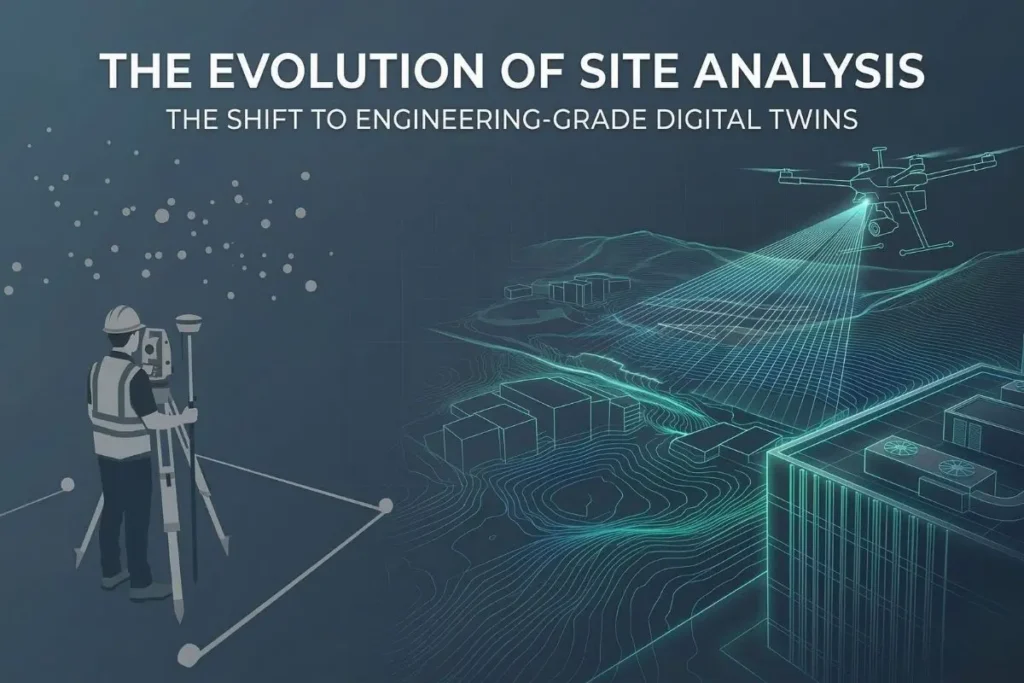
The Evolution of Site Analysis: Why Traditional Methods Fail
Traditional surveying often results in a “snapshot” of a site—a collection of points that represent coordinates but lack the context of the entire environment. When an engineer is working on a complex site, they need more than just points; they need a comprehensive, high-resolution replica of the terrain.
The primary challenge with manual surveys is the risk of missing critical details. A single overlooked topographic change or an unrecorded utility manhole can halt a multi-million dollar construction project. This is why drone photogrammetry accuracy has become the gold standard. By capturing thousands of high-resolution images and processing them through advanced cloud algorithms, we can generate a survey-grade model that captures every nuance of the land. Our specialized 3D land surveying services ensure that no detail is left to chance.
Step 1: The Power of 1:1 Scale 3D Modeling
The core value of modern reality capture lies in the scale. A 3D model is useless for engineering if it does not represent the exact dimensions of the physical world. By utilizing 1:1 scale 3D modeling, we create a digital environment where every pixel represents a real-world measurement.
This is not just about visualization; it is about “Engineering-Grade” data. When you are working within a 1:1 digital twin, you can perform volumetric calculations, slope analysis, and distance measurements with absolute confidence. This high-fidelity geometry is the backbone of digital twin technology, allowing stakeholders to “visit” the site virtually, conduct audits, and plan logistics without a single site visit.
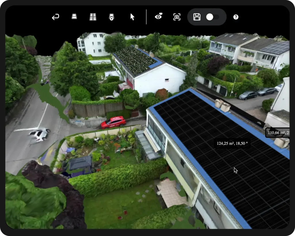
Step 2: Achieving Millimeter-Accurate Measurement on Vertical and Horizontal Planes
While horizontal land surveying is critical for site prep, many modern projects—especially in urban environments—require vertical precision as well. Traditional surveying often struggles with height discrepancies and complex facade geometries.
Render-a solves this by combining aerial data with precise facade measurement solutions. This ensures that your millimeter-accurate measurement standards are maintained across all axes. Whether you are measuring the height of a parapet wall for a solar installation or calculating the exact surface area of a complex industrial building for renovation, the integration of horizontal and vertical data provides a holistic view of the project.
Furthermore, for those specifically focusing on residential or commercial rooftops, a comprehensive drone roof survey provides a level of detail—capturing HVAC units, vents, and drainage systems—that simply cannot be matched by manual climbing.
Step 3: From Reality Capture to Automated Engineering
The true ROI (Return on Investment) of digital twin technology is found in the transition from data to action. In the old workflow, a surveyor would hand off a list of coordinates, and an engineer would spend days manually drafting the site in CAD.
In a software-driven workflow, the data flows seamlessly. Because the model is built on drone photogrammetry accuracy, the transition to engineering software is automated. The system can instantly calculate a Bill of Materials (BOM), detect setbacks, and identify potential structural clashes. By removing the manual drafting bottleneck, we eliminate the most common source of installation and construction errors.
Conclusion: The New Standard for Surveying-Grade Data
The era of manual, disconnected site surveys is coming to an end. As projects become more complex and timelines tighten, the ability to generate a millimeter-accurate measurement in a 15-minute rendering cycle is no longer a luxury—it is a competitive necessity.
By leveraging 3D land surveying powered by 1:1 scale 3D modeling, firms can reduce their liability, increase their bidding accuracy, and ensure that their field teams have the most reliable data possible. The digital twin isn’t just a model; it’s the future of how we build, measure, and manage our physical world.
Ready to Upgrade Your Site Surveys?
Don’t let manual errors hold your projects back. Start your journey with our 3D modeling demo platform today and see how Render-a can transform your site data.
To stay updated on the latest in drone mapping and digital twin innovations, subscribe to our YouTube channel for technical deep dives and follow Render-a on LinkedIn to connect with our global community of engineering professionals.


