Skip to content
Open main menu
Solutions
Roofing
3D Facade Survey
Land Surveying
Offer Preparing
About Us
Pricing
Resources
Blog
Documents
English
English
Türkçe
Deutsch
Login
Book a Demo
Go back to
Back to social page
Blog
26/03/2026
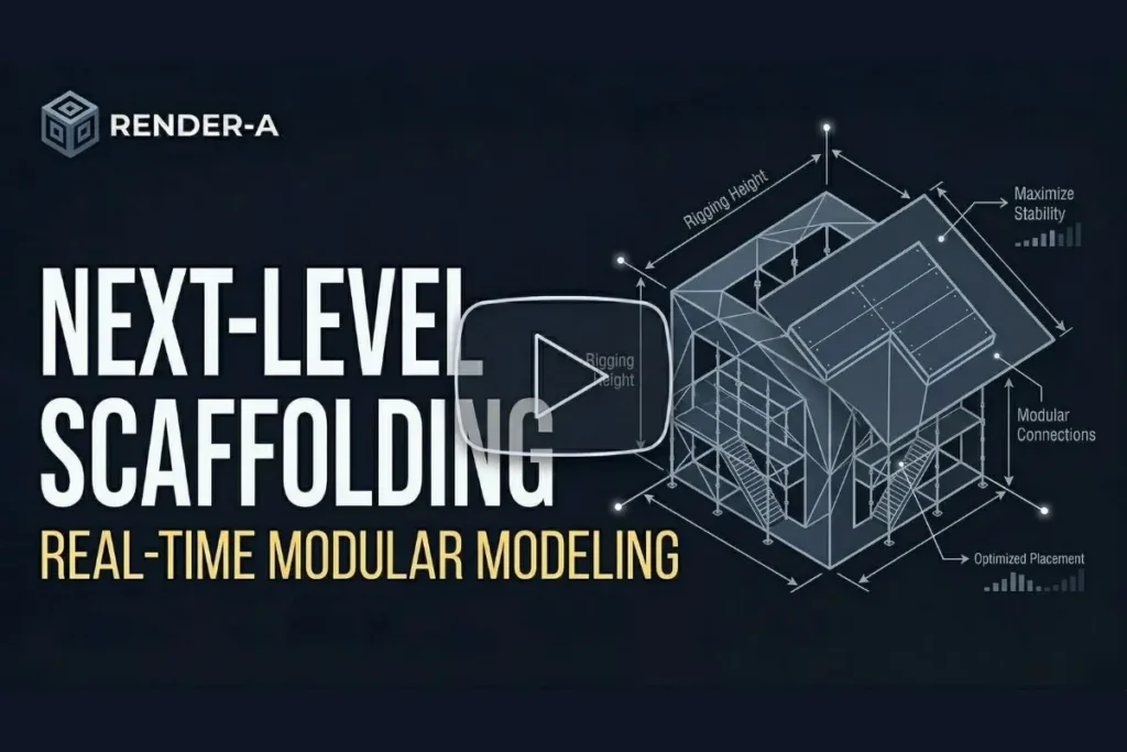
Render-a: Next-Level Real-Time 3D Design for Solar Professionals
YouTube Video Player
Share
More content
View other content
Blog
Choosing 3D Modeling Software That Won’t Break Your Existing Workflow
Blog
Best Drone Roof Measuring Software for Solar in 2026: Scanifly vs DroneDeploy vs Render-a
Blog
Can Drones Map Large Properties Quickly? A Guide to Modern Drone Mapping