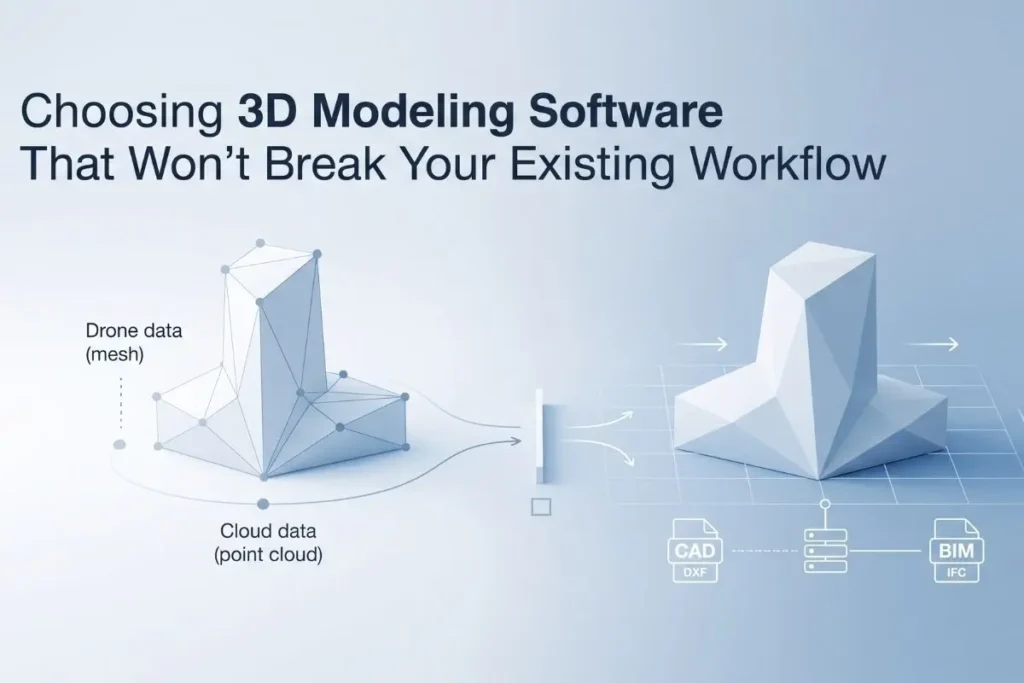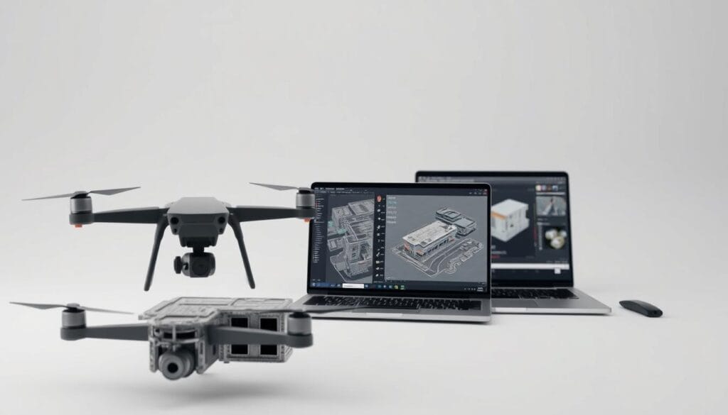
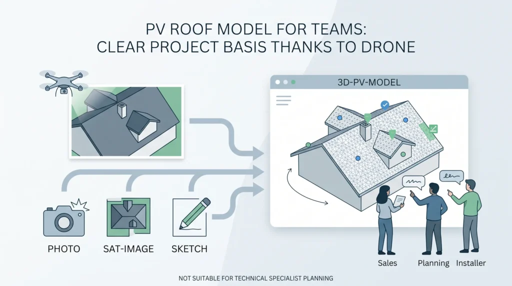
Choosing 3D Modeling Software That Won’t Break Your Existing Workflow
The first time a client’s lead engineer sent back our output with “this doesn’t open in our system,” we had already onboarded 40+ engineering teams at Render-a. That should have…
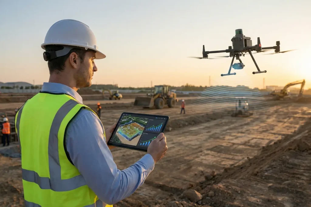
Over the years, working alongside top Solar EPCs, we’ve seen countless installation days ruined by a single manual measurement error. We’ve all been there: a crew arrives on site only…
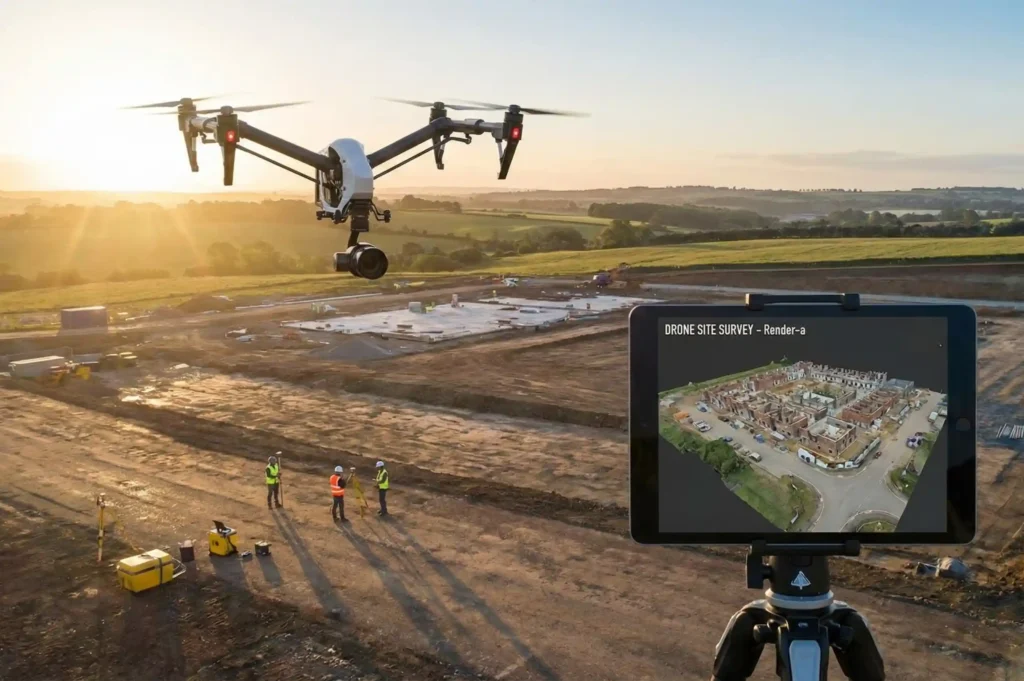
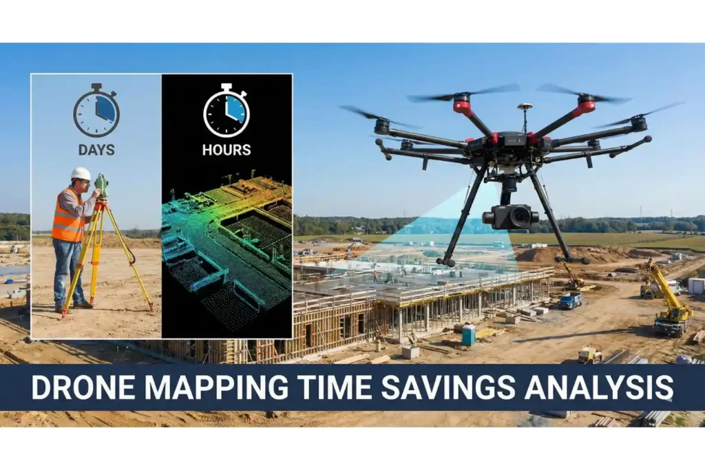
When managing utility-scale sites or massive industrial tracts, traditional surveying methods become a multi-week bottleneck that drains operational resources. Property owners and engineering leads frequently ask us whether aerial data…
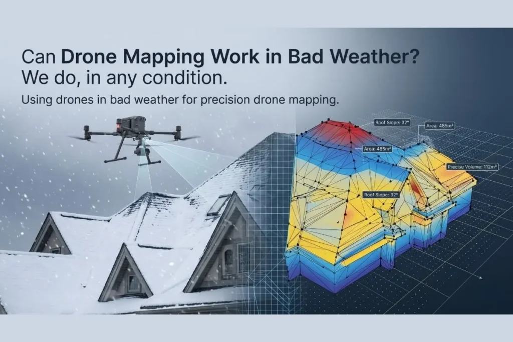
Yes, drone mapping can successfully operate in adverse weather conditions depending on the equipment and processing software used. While heavy rain or extreme winds ground most commercial flights, advanced enterprise…
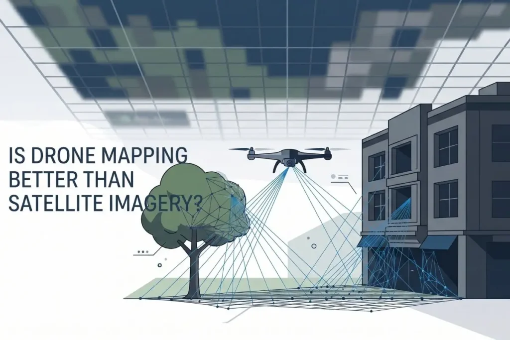
Clients often ask us which spatial data collection method yields the most reliable return on investment for their site operations. The answer lies in the fundamental physics of distance and…
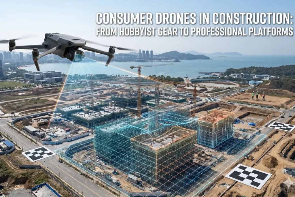
The Viability of Entry Level Hardware in Professional Contexts The question of whether a consumer-grade drone can effectively handle the rigors of site analysis often arises when teams look to…
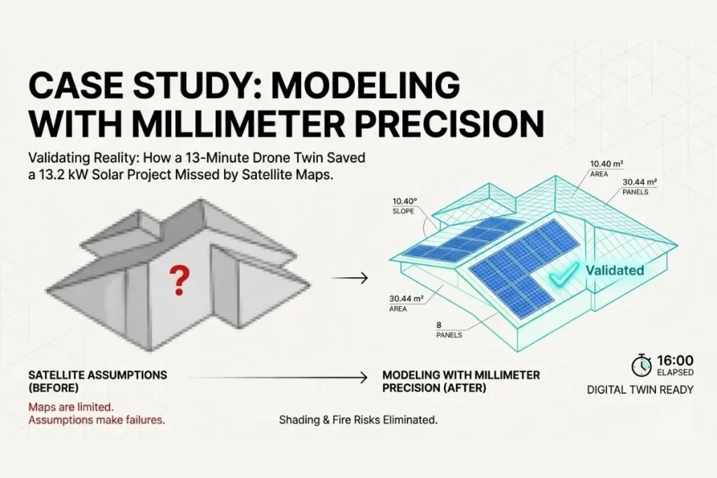
In the high-stakes world of solar Engineering, Procurement, and Construction (EPC), the distance between a successful installation and a costly redesign is often measured in centimeters. While the industry has…
The Operational Shift in Solar EPC In today’s highly competitive solar Engineering, Procurement, and Construction (EPC) market, the operational landscape has fundamentally shifted. For a growing installation company, the most…
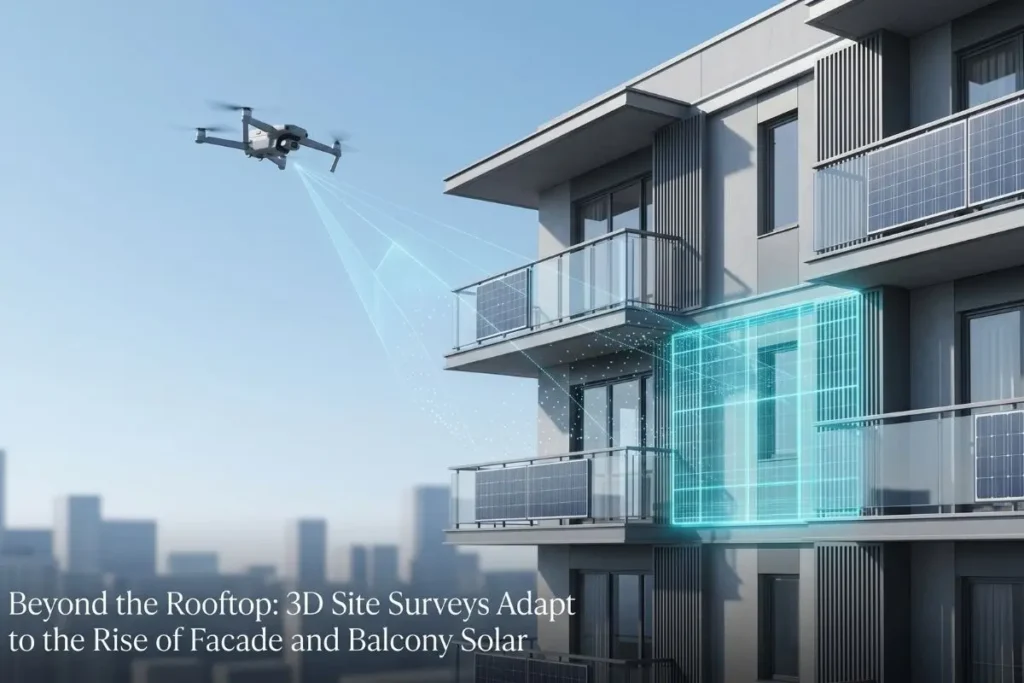
For most of the solar industry’s history, site surveys have focused on one surface: the roof. Drone-based 3D modelling tools, including Render-a, were built to solve rooftop challenges. Accurate pitch…
Key Takeaways ✓ Eliminating manual measurements: Removes a major bottleneck in solar sales workflows. ✓ Fast visual feedback: Improves customer engagement and confidence. ✓ Seamless integration: Integration with existing tools…
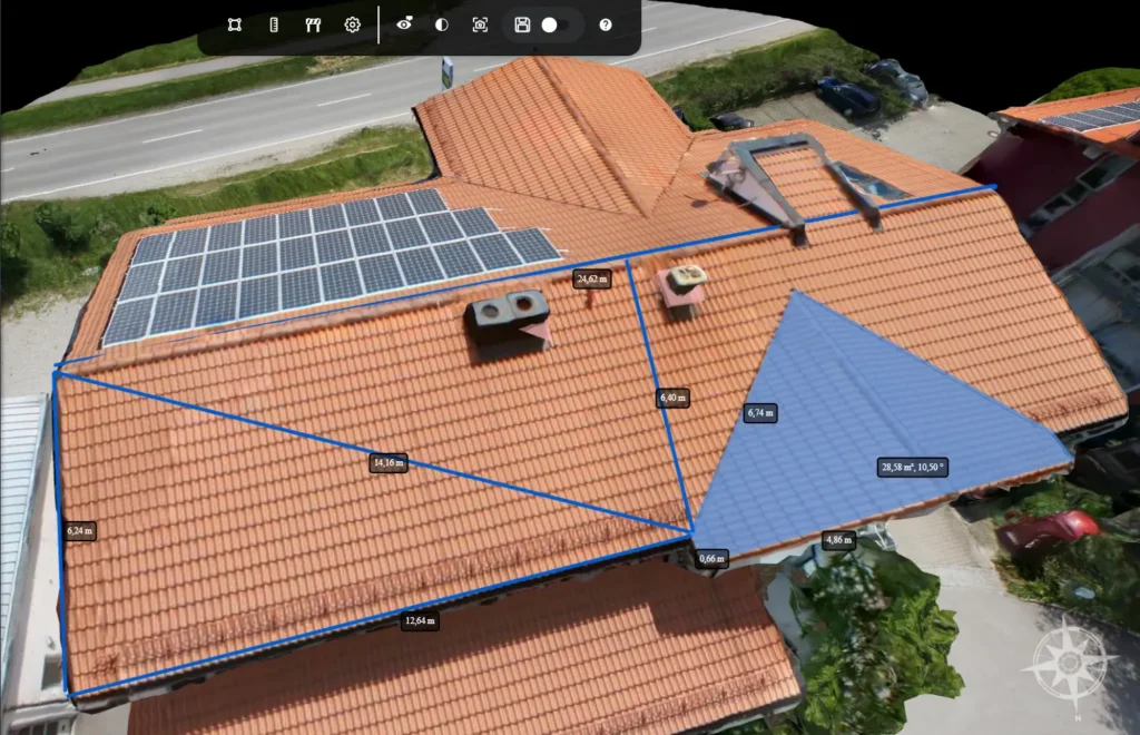
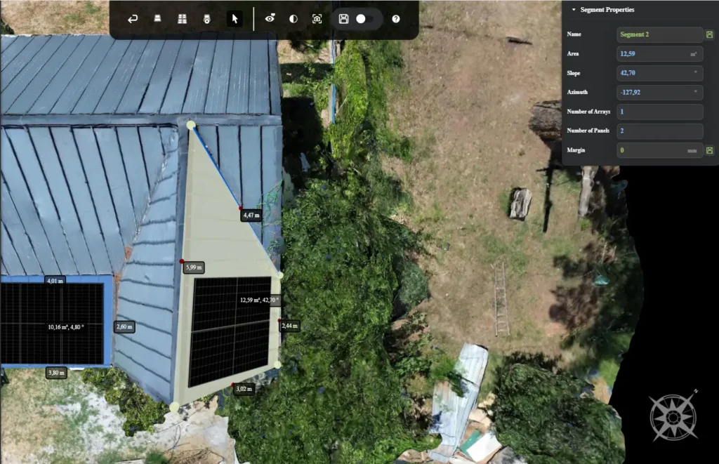
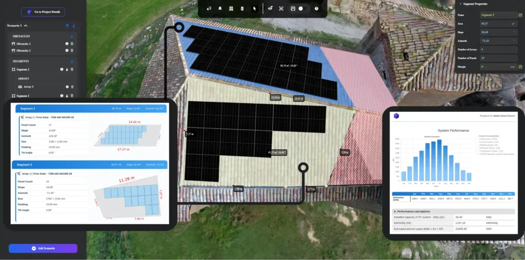
Explore the advanced 3D modeling capabilities of Render-a. This technical demo showcases the streamlined process of accurate roof area creation and optimized solar module layout planning to maximize energy yield in professional solar projects.
In a recent industry analysis published on Sustainable Media 365, journalist Sebastian Wittag highlighted a critical truth for the modern solar industry: “bankability arises from predictability.” Investors do not fund…
In the worlds of construction, architecture, and large-scale land development, “close enough” is a phrase that often leads to catastrophic financial losses. For decades, the standard for site analysis involved…
If you have ever managed a Commercial and Industrial (C&I) solar project, you already know the underlying frustration of the design phase. You send a team out to survey a…
The solar energy industry is currently in a race against time. As global demand for renewable energy surges, installation companies are finding that their biggest bottleneck is not the supply…
Designing commercial and industrial solar arrays has traditionally been a slow, fragmented process. Engineering teams often find themselves trapped in a frustrating cycle of disjointed software. You capture site information…
The success of a solar energy project is fundamentally tied to the accuracy of its initial site assessment. In the current engineering landscape, the gap between a theoretical simulation and…
The first time a client’s lead engineer sent back our output with “this doesn’t open in our system,” we had already onboarded 40+ engineering teams. That should have been embarrassing….
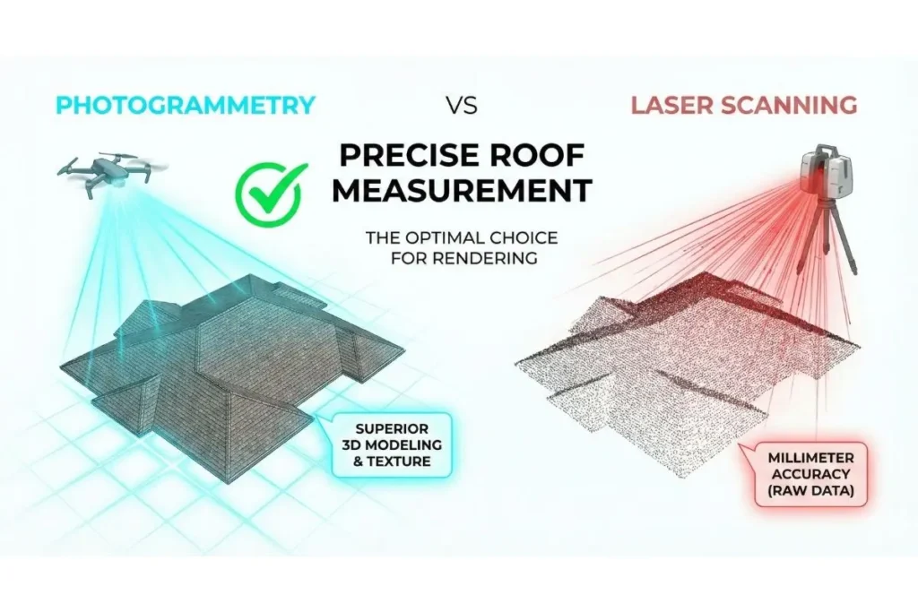
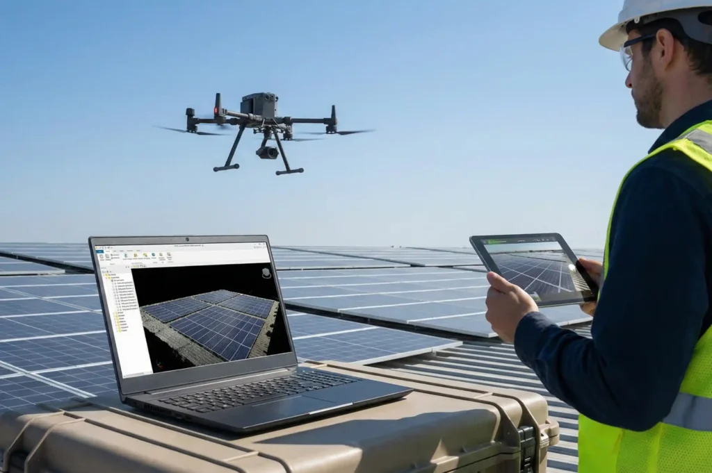
While terrestrial laser scanners offer high precision, they are expensive, slow, and often overkill for commercial roofing and solar PV projects. Drone roof photogrammetry when processed through automated cloud platforms…
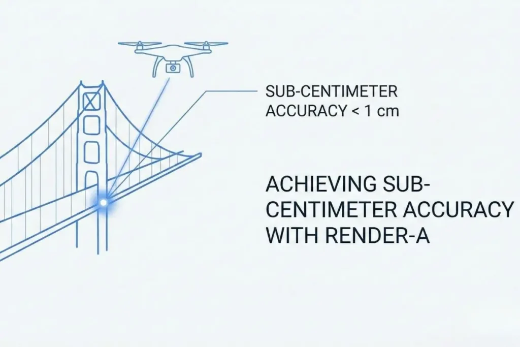
In the world of surveying and structural analysis, close enough is never good enough. A discrepancy of just a few centimeters can lead to costly rework, safety hazards, and project…
The difference between a good 3D model and a great one isn’t the geometry. It’s the truth embedded in the data. This observation from our lead technical team at Render-a…
“The difference between a good 3D model and a great one isn’t the geometry. It’s the truth embedded in the data.” This observation from our lead technical team at Render-a…
The Opening Vision “The future of 3D modeling is not in manual creation; it is in capturing reality itself.” This insight has transformed how professionals approach digital twins, survey-grade data…
The transition from physical structures to digital representations has historically been a bottleneck for engineering and solar planning teams. We have spent years analyzing the friction between manual field measurements…
Are You Using the Right 3D Modeling Software for Your Business? The choice of 3D modeling software has become one of the most critical decisions for professionals working in architecture,…
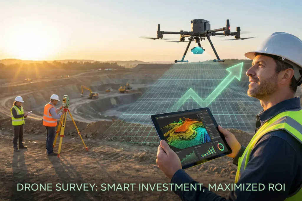
“The best investment is one that saves you money while improving your results. Drone technology has fundamentally changed how we approach surveying and mapping projects.” This reality has transformed industries…
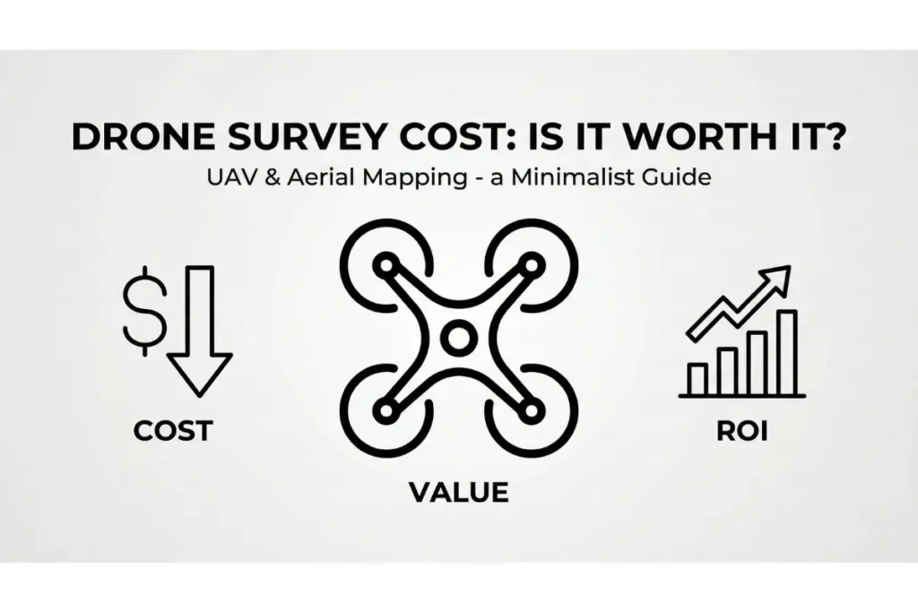
Drone Survey Costs: Is the Investment Worth It for Your Project? “The cost of doing nothing is always higher than the cost of doing something.” This rings particularly true when…
“Time is money, but with drone mapping, you save both.” This statement reflects the reality faced by architecture, engineering, and construction professionals who increasingly turn to unmanned aerial vehicles (UAVs)…
“The future of surveying is not about choosing between technologies, but understanding which tool solves your specific problem.” As a senior geomatics engineer with over a decade of experience…
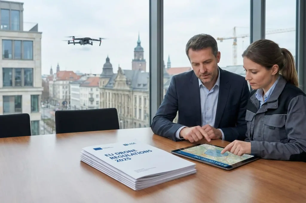
“The skies are no longer the limit for business innovation, but they do require navigating a complex framework of regulations.” As commercial drone operations continue to revolutionise industries across Europe,…
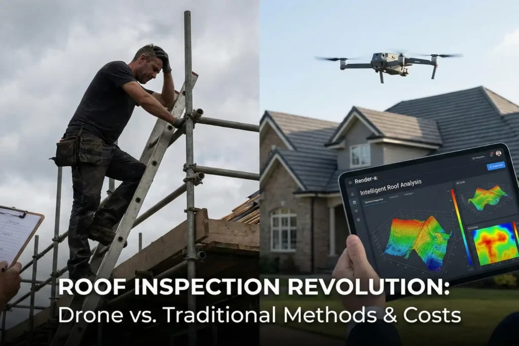
“The roof is the fifth wall of a building,” noted renowned architect Frank Lloyd Wright, emphasizing that what protects us from the elements deserves the same careful attention as any…
The global 3D rendering market reached USD 3.5 billion in 2023 and is projected to grow at a compound annual growth rate of 18.2 percent through 2030. This explosive growth…
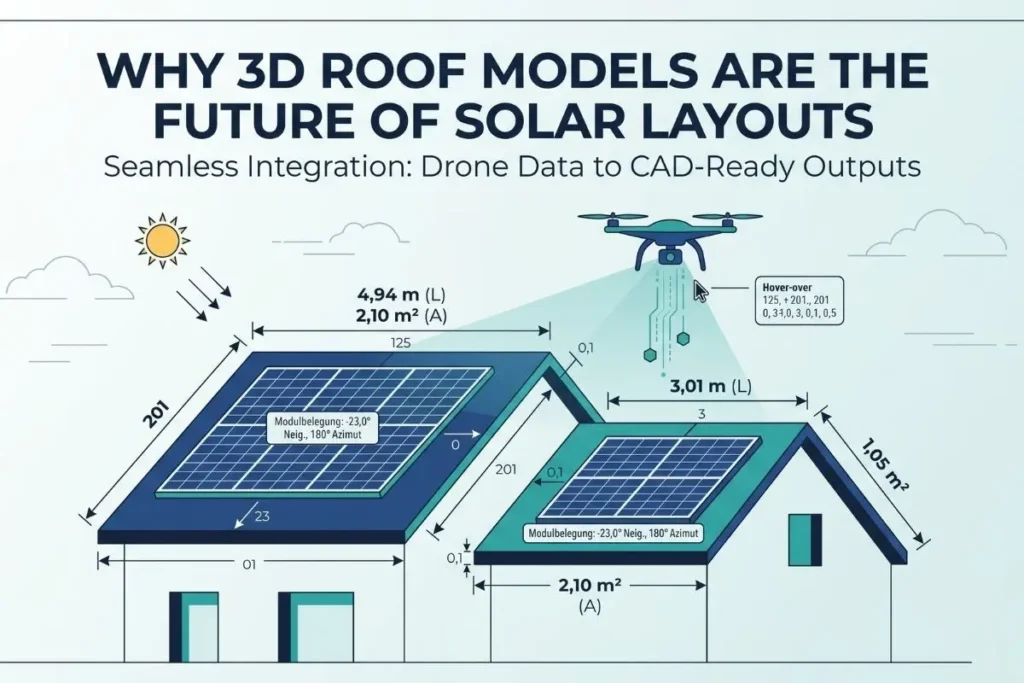
The Visual Gap in Solar Sales In the competitive world of renewable energy, speed and clarity are everything. Customers are no longer satisfied with confusing 2D CAD drawings or dense…
In the evolving field of solar development, the margin for profitability and for projects becoming stagnant is determined by one core factor: precision. The potential for human error and safety…
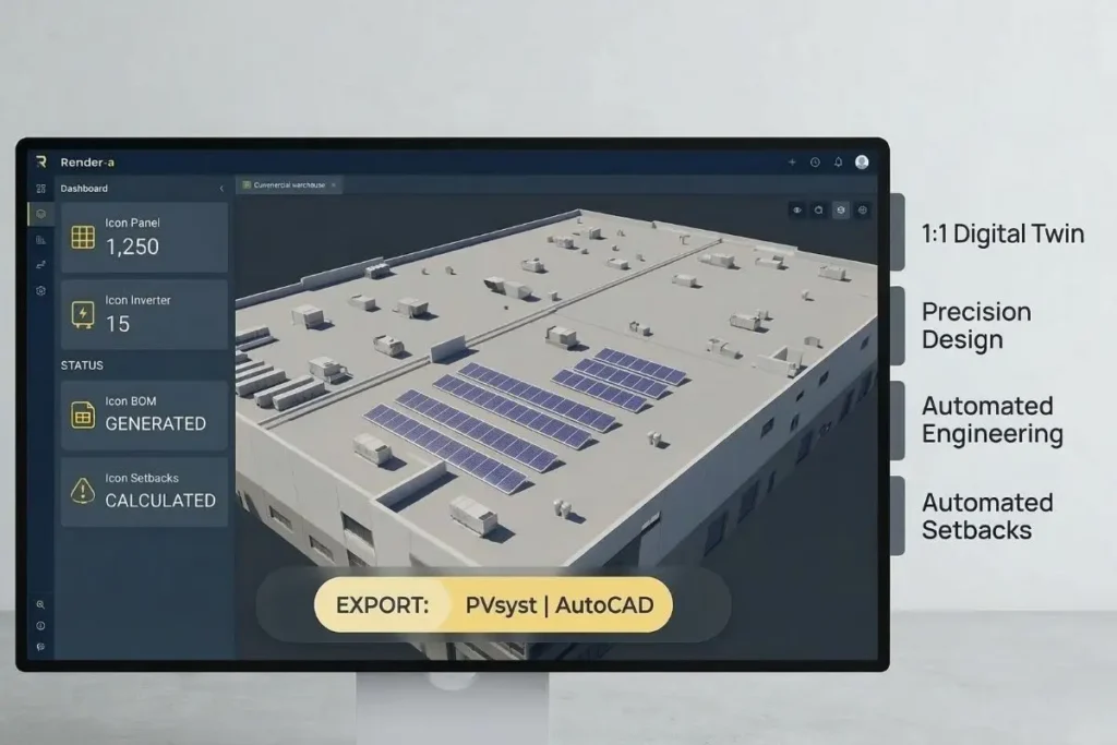
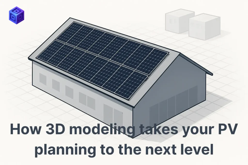
In the fast-paced solar industry, an engineer’s time is the most expensive asset. Yet, highly skilled professionals still spend countless hours on manual roof measurements or tedious 3D drawing from…
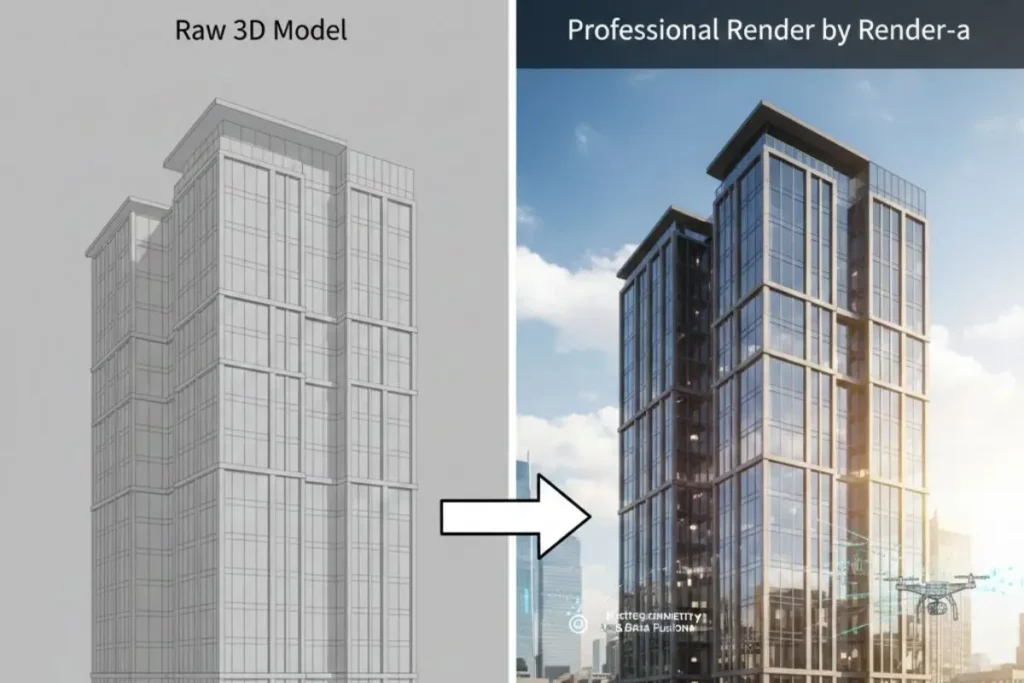
Elevate your PVSOL projects with Render-A’s photorealistic 3D visualization, bridging the gap between engineering data and client persuasion.
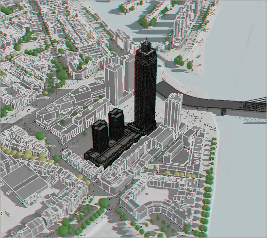
Render-a’s 3D photogrammetry solutions provide unparalleled urban shading analysis, empowering solar engineers to optimize energy production.
Drone-powered 3D measurement data improves PVSOL design and modeling for safer, more reliable PV installations through Render-a’s services.
Eliminate costly drone surveying errors with our 80-photo workflow and render-a platform, delivering flawless 3D models for accurate measurements and planning.
Discover the definitive guide to choosing between Photogrammetry and LiDAR for accurate roof and site mapping. Explore the cost vs. accuracy trade-offs.
The Bottleneck in Solar Panel Design The global boom in solar panels particularly in the commercial and industrial sector has created a paradox: while installation technology advances rapidly, the initial…
The New Reality of 3D Data Overload The digital world is awash in data, and nowhere is this more true than in industries relying on three-dimensional reality capture. Drones, LIDAR…
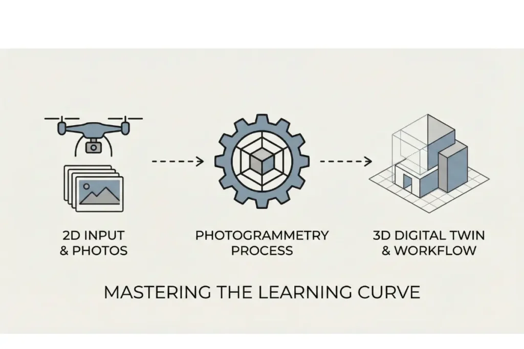
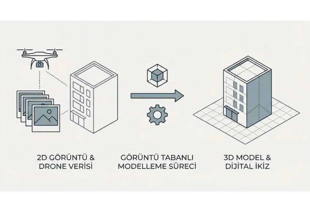
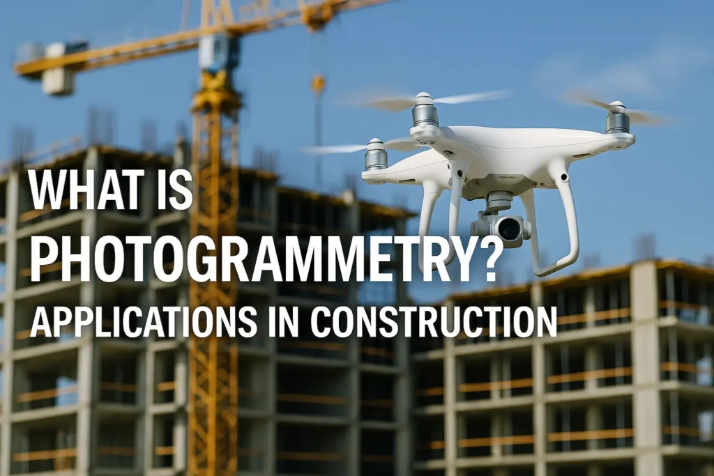
In an era where construction projects are becoming larger, more complex and cost-sensitive, leading firms adopt digital methods to optimize time, budget and risk. Photogrammetry software, drone photogrammetry and modern…
When it comes to solar installation, photovoltaic feasibility, and engineering grade planning, accuracy is not just a preference it is a requirement. General-purpose mapping tools like Google Earth offer a…
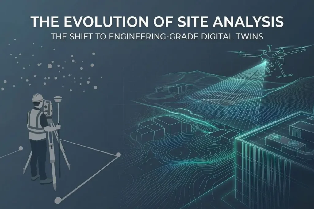
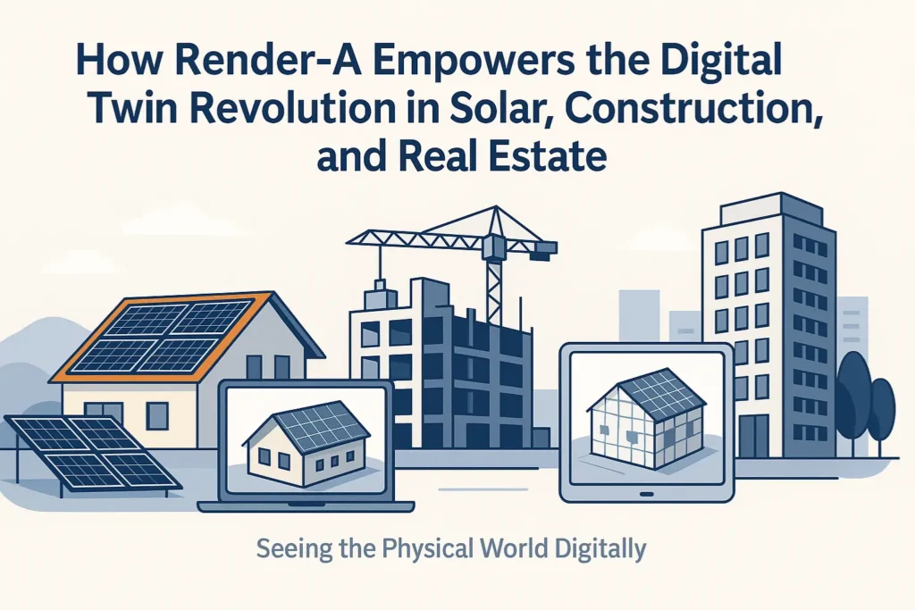
Seeing the Physical World Digitally The digital twin has become one of the most transformative technologies of the decade. It bridges the physical and digital worlds, allowing industries to simulate,…
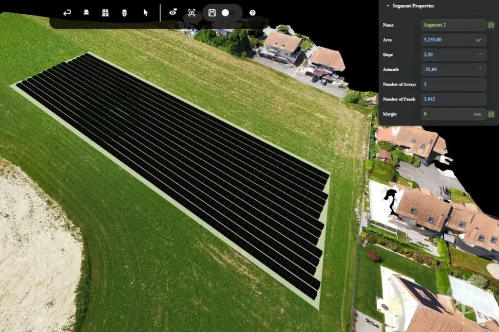
Precise Planning Starts with Accurate Data Every successful solar energy project whether it’s an industrial rooftop installation or a 50-hectare open-field site – depends on the quality of its data…
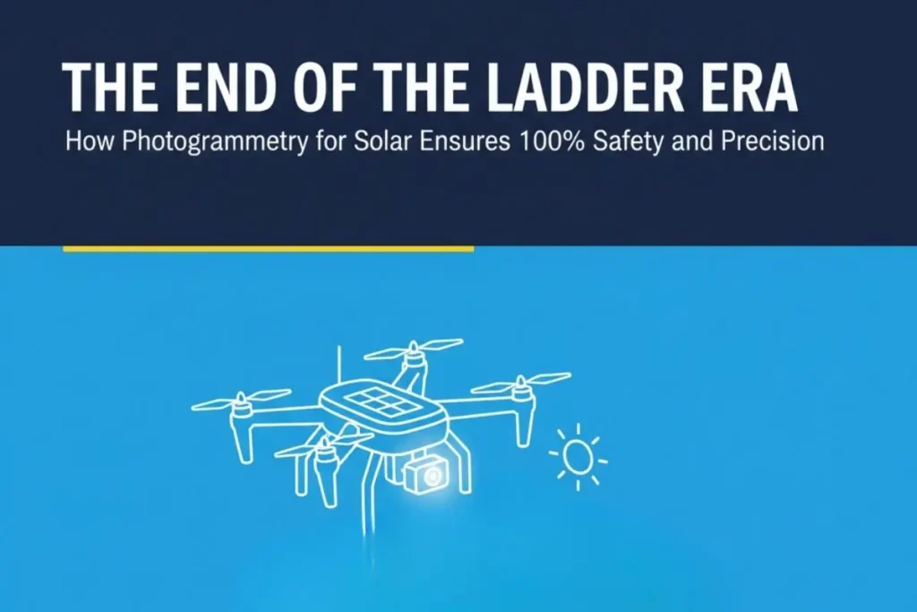
Faster site analysis, safer workflows, and more accurate planning here’s why solar companies are switching to photogrammetry based 3D modeling. The Old Way: Manual, Time Consuming, and Risky In traditional…