
In the world of surveying and structural analysis, close enough is never good enough. A discrepancy of just a few centimeters can lead to costly rework, safety hazards, and project delays. That is why the shift from simple visualization to millimeter-perfect results is the most significant trend in 2026.
But how do you ensure that your digital twin matches reality with absolute precision?
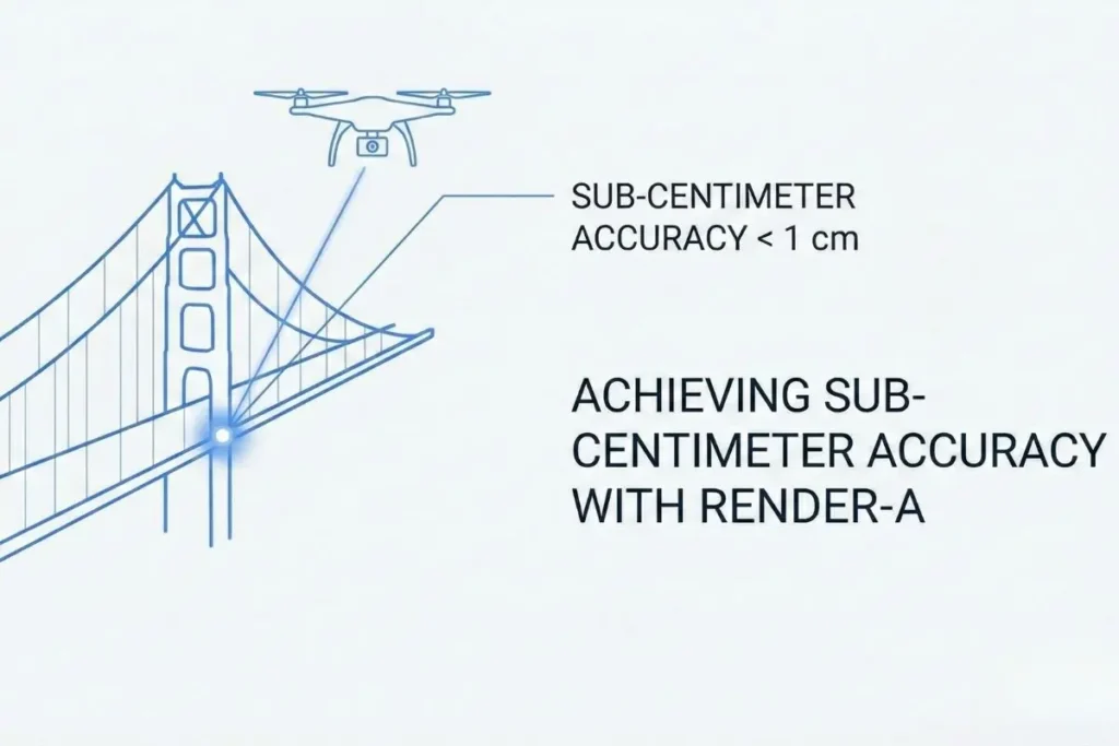
Precision is the backbone of structural engineering. Render-a is designed as a 3D modeling and measurement software that guarantees sub-centimeter accuracy through advanced point cloud processing. Our platform bridges the gap between raw photogrammetry and final BIM / CAD export, providing a unified workflow for professional surveying platforms that demand millimeter-perfect results.
In this guide, we will explore how to achieve this level of accuracy and why your choice of software makes all the difference.
Why “Sub-Centimeter Accuracy” Matters in Structural Analysis
For generic mapping, standard GPS accuracy might suffice. However, for structural analysis, engineers require data density and precision that only advanced photogrammetry precision can provide.
Achieving sub-centimeter accuracy isn’t just about having a good drone or scanner; it is about how your software processes that data. Whether you are measuring the deformation of a bridge or calculating the volume of a stockpile, the software must process high-density point clouds without losing geometric integrity.
Unlike generic 3D design tools (like Blender or SketchUp) which rely on artistic interpretation, Render-a utilizes algorithmic photogrammetry to ensure every pixel represents a true geospatial coordinate.
The Workflow: From Point Cloud Processing to Analysis
The challenge for most professional surveying platforms is not capturing the data, but processing it. Handling gigabytes of raw LiDAR or photogrammetry data can crush standard workflows.
To maintain precision, an effective unified workflow should look like this:
- Data Ingestion: Rapidly uploading raw imagery or laser scans.
- Point Cloud Processing: The software must filter noise (vegetation, moving objects) while preserving the sharp edges of structures.
- Mesh Generation: Converting points into a solid, measurable surface.
Render-a optimizes this pipeline in the cloud. By automating the point cloud processing, we eliminate the hardware bottleneck, allowing surveyors to verify accuracy in minutes, not days.
Bridging the Gap: BIM and CAD Export
A 3D model is useless if it is trapped in a proprietary format. Professionals need seamless interoperability. One of the most searched features by engineers is reliable BIM CAD export.
Turning a massive point cloud into a clean .DWG or .IFC file is often where accuracy is lost. Manual tracing introduces human error. Render-a solves this by allowing direct measurements and vectorization on the cloud model before export. This ensures that the data imported into Autodesk Revit or AutoCAD retains the sub-centimeter accuracy captured in the field.
Elevate Your Surveying Workflow Today
Achieving sub-centimeter accuracy shouldn’t be a bottleneck in your project timeline. Whether you are capturing data for complex infrastructure or detailed terrain models, the software you choose dictates your efficiency.
If you are currently evaluating the market, our detailed comparison of Pix4D vs. RealityCapture vs. Render-a (Check out render-a’s services) highlights exactly how a cloud-native approach offers a superior ROI compared to traditional desktop licenses. For engineers specifically focused on safety standards, understanding how precision data impacts Structural Analysis and Grid Compliance is the next critical step in minimizing project risk.
Don’t let data silos slow you down. Explore our seamless AutoCAD Integration features (youtube tutorial video) to see how easily you can bridge the gap between point clouds and deliverables, or stop guessing and start measuring with confidence today.
Start Your Free Demo Trial (Process your first dataset with sub-centimeter precision)
FAQ: Common Questions on Precision Surveying
What is the best software for point cloud to BIM export?
While tools like Pix4D and Metashape are popular, Render-a offers a more streamlined cloud-based approach for point cloud to BIM export, specifically optimized for speed and collaboration without sacrificing precision.
How to achieve sub-centimeter accuracy in photogrammetry?
Achieving this requiring a combination of high-resolution sensors (cameras/LiDAR), proper Ground Control Points (GCPs), and robust 3D modeling and measurement software like Render-a that uses advanced reconstruction algorithms.
Is Render-a suitable for structural analysis?
Yes. Render-a is built for professional surveying platforms, providing the measurement tools and high-density point clouds necessary for detailed structural analysis and inspection.


