
In an era where construction projects are becoming larger, more complex and cost-sensitive, leading firms adopt digital methods to optimize time, budget and risk. Photogrammetry software, drone photogrammetry and modern 3D modeling software are core technologies that transform planning and execution workflows. Render-A combines these tools into end-to-end solutions that deliver precise 3D models, actionable digital twins, and practical services for façade surveys, terrain modeling and roof measurement.
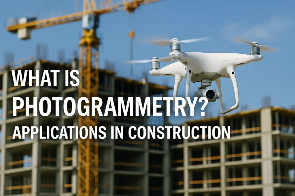
What is Photogrammetry and How Do Drones Fit In?
Photogrammetry is the process of extracting metric information from two- or multi-dimensional images and reconstructing accurate three-dimensional geometry. When paired with drones, photogrammetry enables rapid, high-resolution data capture over sites ranging from building facades and roofs to entire landscapes. Modern photogrammetry software then converts these aerial images into dense point clouds, meshes and textured 3D models.
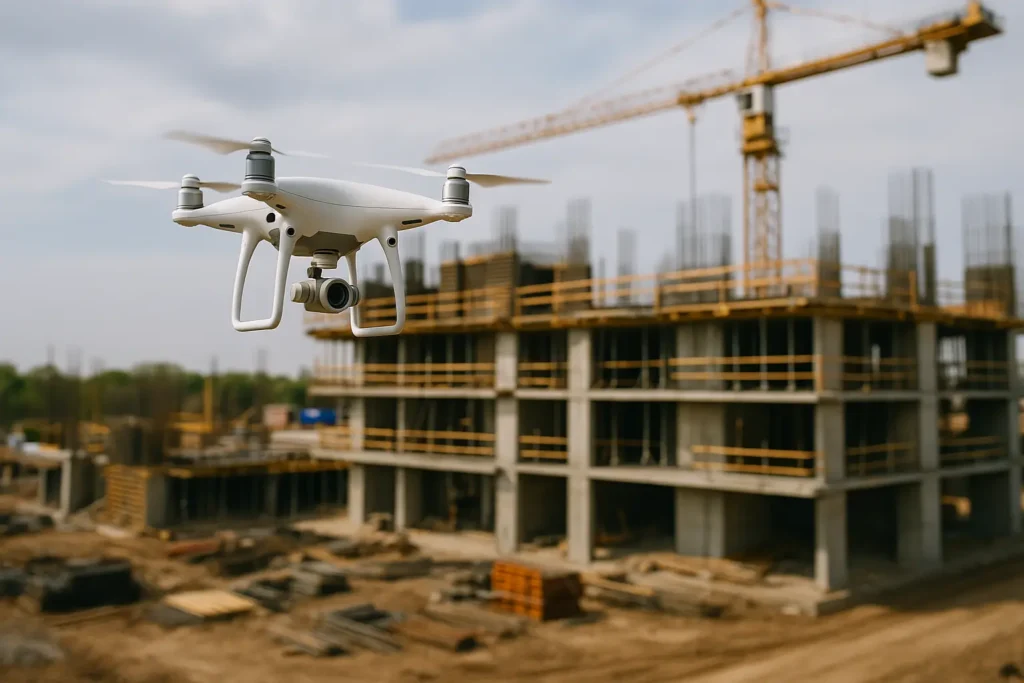
Drones (UAVs) equipped for drone photogrammetry streamline site documentation, reduce manual surveying time and allow frequent re-mapping for progress tracking. For technical references on remote sensing and photogrammetry research, institutions such as the Fraunhofer Institutes provide in-depth studies and guidance. (See Fraunhofer publications for remote sensing and photogrammetry.)
Photogrammetry Software vs. Traditional Surveying
Traditional surveying remains important, but photogrammetric workflows offer critical advantages:
- Speed: Drone flights rapidly gather data that would take teams much longer manually.
- Cost efficiency: Less on-site manpower and faster processing reduce overall project costs.
- Detail & Coverage: High-resolution images processed with photogrammetry software can achieve centimeter-level accuracy suitable for many planning tasks.
- Scalability: Workflows comfortably scale from single building façades to large terrains.
For standards and measurement guidelines, consult national norms such as DIN standards for surveying (see DIN). Software ecosystems like Autodesk also document recommended 3D workflows and interoperability with BIM platforms (see Autodesk resources).
From Point Clouds to Usable Models: 3D Modeling Software
A raw point cloud is only the first step. 3D modeling software refines point clouds into actionable models optimized for BIM, visualization and digital twins. Typical steps include:
- Point cloud cleaning and noise filtering
- Mesh generation and retopology
- Texture baking and georeferencing
Integrated pipelines that combine photogrammetry outputs with 3D modeling software let planners, engineers and clients use models directly in estimating, clash detection and construction sequencing. Many firms use Autodesk and similar platforms to integrate the photogrammetric deliverables into their BIM environment.
Key Use Cases in the Construction Industry
1. Façade Surveys and As-Built Documentation
For renovations, heritage projects or façade analysis, drone imagery plus photogrammetry software produces highly detailed façades suitable for dimensional verification and material planning. Render-A delivers measured, publishable 3D façade models that architects and contractors can immediately act upon. (Render-a façade service: https://render-a.com/de/rendera-losungen-3d-modellierung/fassadenvermessung/)
2. Terrain Modeling & Site Preparation
Before design work begins, accurate topographic models are essential. Drone photogrammetry creates high-resolution terrain models for cut-and-fill calculations, earthworks planning and infrastructure layout. Render-A’s terrain modeling service supports volume calculations and site planning. (Render-a terrain service: )
3. Roof Surveys & Solar Planning
Knowing exact roof geometry and inclination dramatically speeds renovation and solar feasibility studies. Photogrammetry drone capture combined with 3D modeling software provides slope, aspect and shadow analysis for PV planning. Render-A’s roof measurement service supplies precise 3D roof models ready for engineering and solar design. (Render-a roof service)
Business Benefits: ROI, Quality and Risk Reduction
Adopting a photogrammetry + 3D modeling workflow delivers measurable value:
- Faster decision cycles: Accurate models shorten approval and design review phases.
- Lower costs: Reduced rework, fewer site visits, and faster estimations lower project spend.
- Greater transparency: Objective baseline measurements enable better quality control.
- Risk mitigation: Early identification of clashes, deviations or design conflicts reduces costly on-site corrections.
- BIM integration: Seamless handoff into BIM reduces data loss and supports downstream construction processes.
Technology Stack: What to Evaluate When Choosing Tools
When implementing drone photogrammetry and model production, evaluate:
- Supported export formats (LAS, LAZ, OBJ, IFC) for downstream use.
- Georeferencing & accuracy options, including Ground Control Points (GCPs) and RTK/PPK workflows.
- Automation and batch processing capabilities for handling large datasets.
- Compatibility with 3D modeling software and BIM platforms to ensure smooth integration.
- Regulatory constraints local drone flight laws differ by country and region.
Authoritative manufacturer and platform documentation such as Autodesk’s 3D pipeline guides are helpful references for integration and best practices.
Short Case Study: Practical Impact
A mid-sized construction firm commissioned Render-A to digitally capture a renovation site. Workflow: drone capture → photogrammetry processing → 3D model → BIM handoff. The result: 40% faster planning approvals and significantly more accurate cost estimates due to detailed as-built data and volume calculations.
Conclusion & Outlook
The synergy of drone photogrammetry, powerful photogrammetry software and modern 3D modeling software is a proven lever for efficiency, precision and competitive differentiation in construction planning. Organizations that adopt digital twin technologies and integrated workflows will make faster decisions, control costs better and improve project outcomes.
Let’s Connect
Interested in a proof of concept or a consultation for your next construction project? Connect with Render-A on LinkedIn to explore collaboration and see how we can deliver a tailored digital twin for your site:
LinkedIn: https://www.linkedin.com/company/render-a
Or submit a project request via the service pages linked above. We look forward to supporting your digital construction journey.


