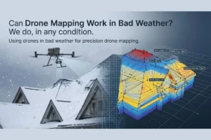
When managing utility-scale sites or massive industrial tracts, traditional surveying methods become a multi-week bottleneck that drains operational resources. Property owners and engineering leads frequently ask us whether aerial data can truly match the speed and precision required for serious development. The reality is that modern hardware and advanced cloud processing have completely changed the rules of commercial data collection.
Understanding the Speed of Aerial Data Collection
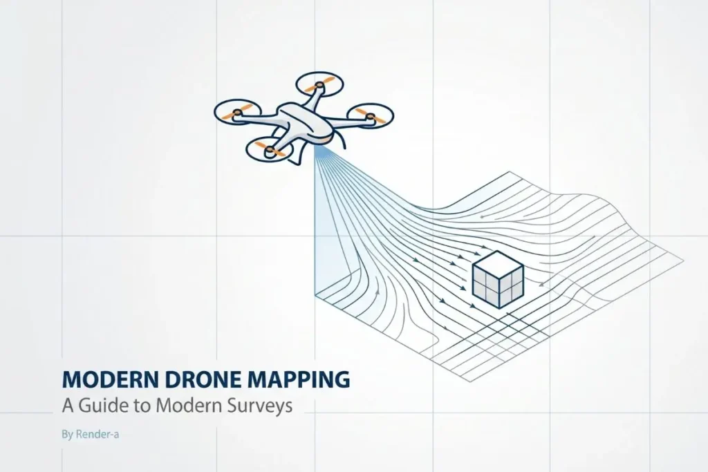
Drones map large properties exceptionally fast by capturing high-resolution aerial data across hundreds of hectares in under an hour. Through cloud photogrammetry, this raw spatial information is processed into engineering-grade 1:1 digital twins, delivering precise terrain measurements up to ninety percent faster than traditional ground surveying methods.
How Render-a Replaces Legacy Land Surveying
We have built Render-a to solve the specific bottlenecks that legacy surveying leaves behind. Instead of walking a site with manual GPS rovers, our workflow utilizes aerial photogrammetry to overlap thousands of high-resolution images, generating an exact digital replica of the terrain. For massive projects, deploying advanced high-precision topography mapping allows engineers to analyze slopes and hidden obstacles directly from their office, utilizing data that offers nine times more precision than standard satellite imagery.
Unified Infrastructure Mapping for Complex Buildings
The true transformation happens when a property includes complex infrastructure, where our platform captures the entire built environment simultaneously. Evaluating the solar potential or structural footprint of large industrial buildings no longer requires days of manual sketching or hazardous climbing.
Streamlining Roof Inspections
By integrating a high-resolution aerial roof inspection, teams can assess thousands of square meters of roofing layout in minutes. This drastically reduces the time needed to evaluate structural integrity or plan complex solar installations.
Accurate Envelope and Facade Assessment
Simultaneously, this automated data pipeline provides a precise building envelope and centimeter-precise 3D facade modeling to ensure zero planning errors for scaffolding setups or commercial solar retrofits.
The Render-a Processing Advantage and Ecosystem Sync
What truly separates Render-a from traditional drone services is our unprecedented processing speed and software ecosystem. While typical photogrammetry workflows force project managers to wait days for data delivery, our specialized pipeline generates engineering-grade 3D models within a strict two-hour render window. This rapid turnaround delivers a ninety-nine point nine percent accuracy standard compliant with strict industrial requirements, ensuring your engineering designs match ground reality perfectly.
Furthermore, we bridge the gap between raw spatial data and financial execution by converting these 3D models into automated technical documentation. The Render-a platform instantly translates measurements into energy yield estimates, carbon footprint reports, and automated material lists. Because our ecosystem features seamless integration with industry-standard software like Eturnity and PVSOL, sales and engineering teams can generate bank-ready proposals almost instantly.
Scaling Operations and Protecting Project Margins
Choosing this automated aerial approach is ultimately about scaling your operations without compromising on certainty. First, you eliminate the massive overhead and human error associated with manual measurements and outdated satellite maps. Second, you accelerate project approvals by presenting flawless, data-backed blueprints to stakeholders. Deploying these intelligent aerial tools ensures that your project margins are fully protected from day one, giving your team the power to design and bid with absolute confidence.