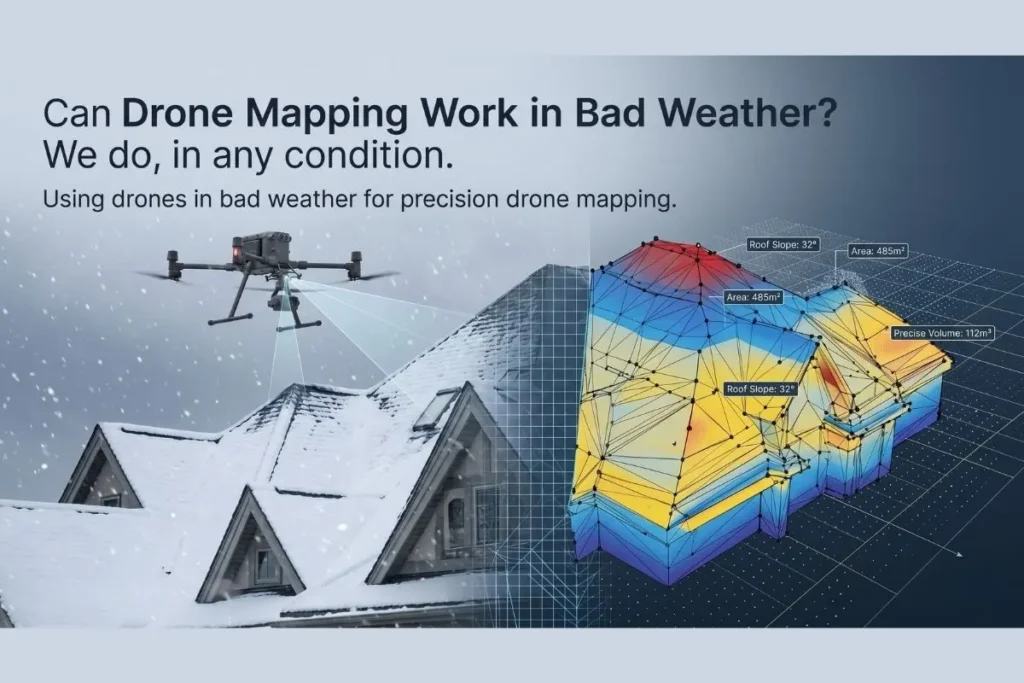
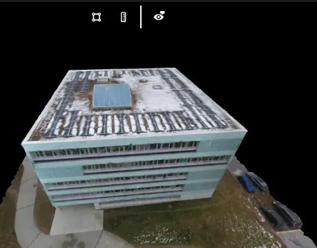
Yes, drone mapping can successfully operate in adverse weather conditions depending on the equipment and processing software used. While heavy rain or extreme winds ground most commercial flights, advanced enterprise systems can fly the drone in bad weather to capture precise photogrammetry data, enabling accurate topographical assessments during unexpected environmental shifts.
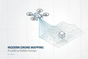
Pushing the Boundaries of Aerial Data Collection
Clients frequently ask us about operational thresholds when project timelines collide with shifting seasons. Traditional surveying halts when the sky darkens. We approach this differently. Understanding the exact tolerances of our equipment allows us to maintain momentum on critical infrastructure sites. You cannot always wait for a perfectly sunny, windless afternoon to conduct a drone survey. Sometimes the data is needed immediately to assess storm damage or keep a tight construction schedule on track. The Federal Aviation Administration outlines strict visibility and wind guidelines for unmanned aircraft systems. Operating within these safety margins, we leverage specialized hardware engineered with high IP ratings to resist moisture and stabilize against turbulent gusts.
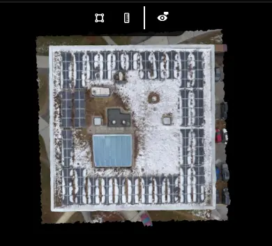
Overcoming Snow and Reflective Challenges
A common misconception is that snow cover entirely ruins photogrammetry. It definitely introduces severe exposure and contrast issues that confuse standard algorithms. Using drones in bad weather requires adjusting sensor parameters on the fly to prevent the ground from becoming a washed-out white canvas. Our team at render-a has developed refined workflows specifically for these high-albedo environments. We have captured stunningly detailed visuals of completely snow-covered roofs and successfully transformed those datasets into flawless 1:1 3D modeling assets. The processing engine identifies subtle textural differences in the ice and snow, proving that environmental hurdles are primarily software challenges rather than absolute physical limitations.
Practical Applications and Seasonal Evaluations
Every minute counts when developing large-scale renewable energy sites. Waiting for the spring thaw is rarely an acceptable business strategy. Drone measurement with solar projects often demands immediate topographic data to finalize engineering blueprints during the harsh winter months. By deploying ruggedized multi-rotor systems, we gather the necessary elevation points and structural dimensions despite freezing temperatures. The cold actually alters battery discharge rates, a variable we meticulously account for in our pre-flight planning to ensure safe data retrieval. The resulting spatial data seamlessly integrates into engineering environments, ensuring that seasonal weather never dictates your operational timeline. We look at the sky not as a barrier, but as a dynamic workspace requiring constant adaptation and technical precision.