Clients often ask us which spatial data collection method yields the most reliable return on investment for their site operations. The answer lies in the fundamental physics of distance and sensor payload. We have spent years analyzing spatial data, and the distinction between orbital capture and low-altitude flights changes everything about project planning. Satellites estimate. Drones measure.
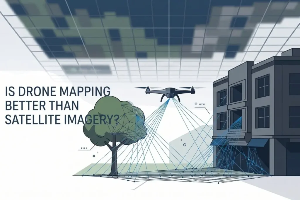
When comparing spatial data acquisition methods, drone mapping consistently outperforms satellite imagery for localized projects requiring millimeter-level accuracy. While satellites provide expansive regional overviews, drones fly at lower altitudes to capture high-definition topographic data, entirely bypassing cloud cover and atmospheric distortion to deliver immediately actionable, survey-grade models.
Bridging the Resolution Gap
Let us talk about clarity. The commercial spatial data industry frequently discusses the Resolution Gap. Standard commercial satellites orbit hundreds of miles above the Earth. Even the most advanced commercial orbital sensors typically top out at a 30-50 cm/pixel spatial resolution. At that scale, a small retaining wall or a minor grade change vanishes into a blurry square. Render-a’s flight protocols eliminate this ambiguity entirely. Because we operate our specialized equipment mere meters above the target site, we reliably achieve a 1-2 cm/pixel ground sample distance. This is not just a marginal improvement. We deliver 9x More Precision for our clients, transforming vague pixel clusters into definitive engineering data.
Conquering Obstruction Detection
Topography is rarely perfectly flat and unobstructed. Urban environments and dense vegetation introduce severe limitations for top-down orbital photography. A satellite looks straight down, or at a slight off-nadir angle, meaning anything beneath a canopy or an overhang is lost permanently to the sensor. Obstruction Detection is where our targeted approach proves essential. Satellites miss the crucial elements hiding under dense tree canopies, the dark voids created by chimney shadows, and the fine facade details that define a building’s true structural integrity. Our pilots manually adjust flight paths and sensor pitches. We fly under the tree lines and angle cameras to illuminate those deep architectural shadows. When generating highly precise topographic deliverables, this ability to see around and beneath obstacles prevents costly spatial errors later in the construction lifecycle.
Precision in Vertical Workflows
Orbital imagery struggles immensely with verticality. Looking straight down at a multi-story building tells you absolutely nothing about its exterior condition. We leverage multi-angle photogrammetry to solve this physical limitation. By flying complex orbit patterns, we capture every nuance of a structure’s exterior. This capability becomes vital when capturing millimeter-accurate architectural elevations for historical preservation or complex modern retrofits. Satellites simply cannot map a vertical surface accurately. We turn that vertical surface into a measurable, interactive three-dimensional environment.
Similarly, inspecting elevated infrastructure requires close physical proximity. An orbital pass cannot tell you if a localized section of rooftop flashing is failing or if moisture is trapped beneath a membrane. Through comprehensive aerial roof diagnostics, we identify the exact micro-fractures and thermal anomalies that would otherwise remain invisible until a catastrophic leak occurred inside the facility. We base our entire diagnostic methodology on established photogrammetric accuracy standards to ensure every digital twin we produce stands up to rigorous engineering scrutiny.
We advise project managers to view satellites as tools for macro-level context and localized flights as instruments for micro-level execution. If you need to observe changing weather patterns across a continent, you look to orbit. If you need to calculate the exact volume of a construction stockpile, identify structural wear on a hidden parapet, or map a complex site without tree interference, you deploy a drone. The transition from orbital estimation to low-altitude verification is what sets successful spatial planning apart. We build Render-a’s solutions around this exact philosophy, ensuring the spatial data you receive reflects the absolute reality of your site.