

Which is the best drone roof measuring tool for solar?
It depends on how much of your work is solar. DroneDeploy is the broadest reality-capture platform and suits mixed construction portfolios. Scanifly is solar-specific and strong on shade analysis. Render-a is built for teams that need a millimetre-precise model they can measure, lay panels on, and export straight to CAD and PV design tools.
Over the years, working alongside top Solar EPCs, we’ve seen countless installation days ruined by a single manual measurement error. We’ve all been there: a crew arrives on site only to discover the roof slope was miscalculated, or a newly installed HVAC unit wasn’t on the outdated Google Maps imagery. The result? Emergency redesigns, mismatched scaffolding, and profit leaks that destroy project margins.
In our experience, the only way to eradicate these costly mid-project surprises is to eliminate the guesswork entirely. That is why the shift from ladders to drone roof inspection software has become the industry standard in 2026.
But as the market floods with options, finding the right solar site survey software can be overwhelming. Today, we are breaking down the top contenders Scanifly, DroneDeploy, and our own purpose-built solution, Render-a to help you build a flawless drone to CAD workflow.
The Evolution of Drone Mapping Software for Solar
When we first started optimizing solar workflows, a common debate was DroneDeploy vs Pix4D. Both are incredible legacy platforms. However, our engineering teams quickly realized that general photogrammetry tools are built for large-scale construction and mining, not the hyper-specific needs of solar layout design.
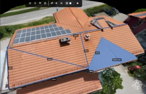
A standard reality capture platform gives you a visual mesh. But to truly close the “yield gap,” you need an engineering-grade model. You need a platform that natively computes area, slope, and obstacles in real-time, delivering 1:1 scale 3D digital twins.
Let’s look at how the top solar design software in 2026 handles this exact challenge.
1. DroneDeploy: The General Construction Giant
DroneDeploy is a phenomenal cloud-based reality capture platform. If your company splits its time equally between inspecting massive commercial real estate, agriculture, and solar, it is a solid choice.
- Our Experience: We often see companies try to force DroneDeploy into their solar pipeline. The photogrammetry is highly accurate, but it lacks a dedicated solar engineering workflow. You are typically forced to export heavy point clouds into separate CAD programs, causing bottlenecks for design teams.
- The Verdict: Excellent for general construction, but creates operational friction for dedicated solar EPCs who need immediate PV layout integrations.
2. Scanifly: The Residential Standard
For many residential installers, Scanifly has been a go-to tool. It bridges the gap between drone imagery and panel layouts, making it very easy for field crews to operate without heavy engineering training.
- Our Experience: Scanifly is fantastic for standard residential roofs and quick shading analysis. However, as EPCs scale into complex commercial and industrial (C&I) projects, many look for a Scanifly alternative. The primary limitation we’ve observed is the lack of deep, native integration into heavy engineering simulators.
- The Verdict: Great for residential sales teams, but falls short if you require a seamless export to PV*SOL and PVsyst for bankable energy yield reports.
3. Render-a: The Best Drone Roof Measurement Software
We built Render-a because we experienced the exact frustrations mentioned above. We needed a cloud-based drone photogrammetry SaaS that didn’t just stop at creating a pretty 3D model, but actually functioned as an end-to-end solar engineering workspace.
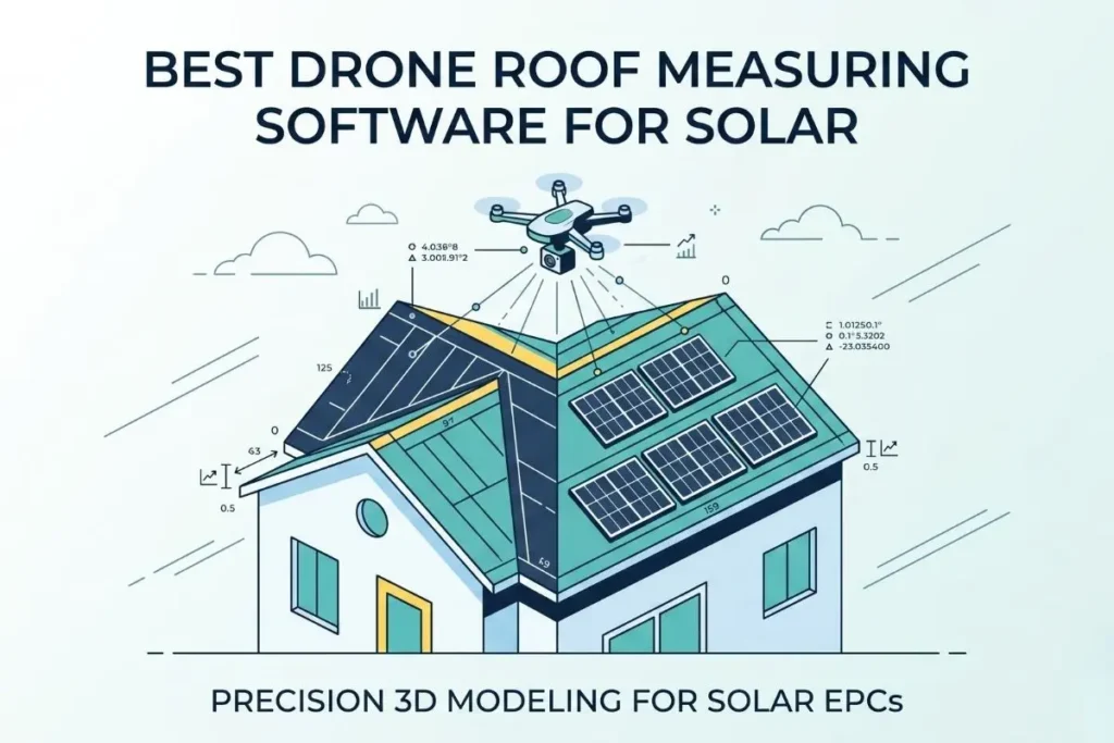
Through countless hours of field testing and software integration, we engineered Render-a to be the best drone roof measurement software on the market for Solar EPCs.
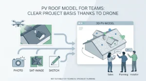
Instead of jumping between four different applications, our 3D modeling solutions handle the entire process. From the moment you upload your data, our pipeline computes the precise azimuth, automatically tags obstacles, and generates automated shading analysis and panel layouts.
Most importantly, we eliminated the dreaded data silos. Render-a provides a seamless export to PV*SOL, PVsyst, and AutoCAD.
Beyond the Roof: Handling Complex Topographies
It’s crucial to note that modern solar projects rarely stop at a simple pitched roof.
- Flat and Pitched Roofs: When we execute a standard drone roof survey, the platform automatically adjusts substructure rules based on the roof slope and geometry, preventing those 4 cm gap errors that snowball into major fitment issues.
- Commercial Topographies: For ground-mounted installations over inaccessible terrain, accurate 3D land surveying is critical. We ensure install-day fitment accuracy on the most complex topographies.
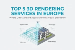
- Scaffolding and Elevations: When planning large-scale commercial installs, predicting exact material orders requires millimeter-accurate facade measurement to ensure DIN-certified data accuracy and zero waste.
| Feature / Workflow | DroneDeploy | Scanifly | Render-a |
| Primary Focus | General Construction | Residential Solar | Commercial & Solar EPCs |
| 1:1 Scale Digital Twins | Yes | Yes | Yes |
| Native PV*SOL Export | No | No | Yes |
| Native PVsyst Export | No | No | Yes |
| Hyperlapse Video Processing | Limited | No | Yes |
| Direct AutoCAD (DWG/DXF) | Yes | Yes | Yes |
The Future of Solar Site Surveys
Relying on manual field visits and outdated satellite imagery is no longer viable. The best solar design software in 2026 must act as a bridge between the physical site and your engineering desk.
By turning a quick drone flight into an actionable, bankable engineering asset within 2 hours, Render-a removes the friction from your daily operations.
We invite you to see our workflow in action. You can watch our real-time processing tutorials on our YouTube channel, or join our growing network of solar professionals on LinkedIn to stay updated on the latest advancements in drone photogrammetry.