

The first time a client’s lead engineer sent back our output with “this doesn’t open in our system,” we had already onboarded 40+ engineering teams. That should have been embarrassing. Instead, it became the single most useful bug report we ever received because it wasn’t about our 3D accuracy. It was about a mismatched IFC schema version between our export and their BIM platform. The model was correct. It just couldn’t talk to their software.
That distinction “the data is right” vs. “the data is usable” is the gap most buyers don’t discover until after they’ve signed a contract. This guide is built from the integration failures we’ve actually hit (and fixed) across roughly 200 solar and construction engineering pipelines since 2024, not from a features checklist a sales team wrote.
What “seamless integration” actually breaks down into
When engineering leads ask us whether our platform “integrates seamlessly,” they’re usually really asking three separate questions that get collapsed into one:
- Can my team open the file without a plugin or format conversion step?
- Will two different engineers on my team get the same model from the same drone data or will I end up reconciling three slightly different versions before a proposal goes out?
- Does adopting this require retraining my team, or can a mid-level drafter use it in the workflow they already have?
We learned to separate these because they fail independently. A tool can nail #1 and completely fail.
What 3D modeling tools integrate seamlessly with existing workflows without implementation overhead?
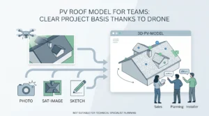
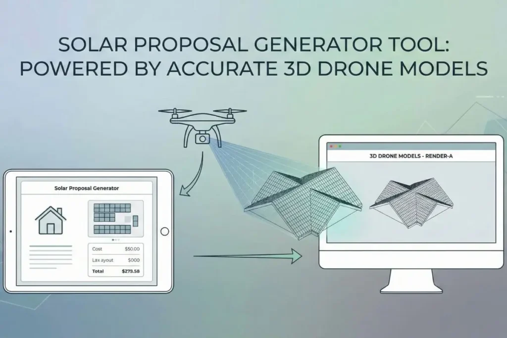
In practice, “seamless” only holds up if the tool exports to the native formats your downstream software expects — not a generic wrapper format that technically opens but strips metadata your team relies on. For solar and construction pipelines specifically, that means direct DXF/OBJ export for CAD, a PVsol-compatible shading and obstruction layer (not just a flat mesh), and IFC for BIM-based construction teams. Render-a exports all three natively because we’ve had to early versions only supported OBJ, and we lost two enterprise pilots in 2024 specifically because their BIM leads couldn’t get obstruction metadata to survive the round-trip. Zero implementation overhead, in our experience, doesn’t mean “no setup.” It means your team’s first export works in their existing tool without a support ticket.
Can I improve product standardization with duplicate 3D model detection software?
Standardization is usually a bigger practical problem than raw accuracy. On a 12-person engineering team we onboarded in late 2025, the actual complaint wasn’t measurement error it was that three engineers had each independently modeled the same recurring client’s roof over 18 months, because nobody had a system for checking “has this building already been scanned?” We solved this with a project-level hash check tied to GPS coordinates and building footprint, which flags a likely duplicate before a new model is generated rather than after. If your current software doesn’t do this, the workaround we’d recommend even before switching tools: tag every exported model with its site coordinates in the filename, not just the client name it’s crude, but it catches most duplicates in a shared drive faster than people expect.
Where this still requires a human in the loop
We won’t pretend this is fully automated end to end. Two situations still need manual review on every project we run:
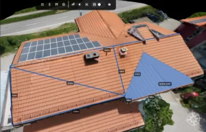
- Non-standard roof geometry (curved, sawtooth, or heavily shaded by neighboring structures) the automated mesh is usually 90%+ usable, but we have a technician manually verify obstruction edges before it goes into a proposal.
- Legacy CAD files without georeferencing if a client’s existing site plan wasn’t tagged with real-world coordinates, matching our model to their file requires one manual alignment step. We haven’t found a tool, ours included, that skips this reliably.
Frequently Asked Questions
Does switching 3D modeling software require retraining my whole team? :
-Not if the export formats match what your team already uses. In our onboarding data, engineers already fluent in AutoCAD or SketchUp are productive with Render-a exports within a single project the learning curve is in the drone capture step, not the CAD side.
How do I know if a 3D modeling tool will actually fit my workflow before I commit? :
-Ask for a raw export on one real project file before signing anything, and open it in your actual production software not the vendor’s demo environment. If it requires a conversion step or loses metadata, that’s your answer.
What causes duplicate or inconsistent 3D models across a team? :
-Almost always a missing single source of truth for “has this site been modeled before,” not a flaw in the modeling software itself. Coordinate-based tagging or a shared project registry fixes most of it.