

If you have been in the solar installation game for a while, you know a nightmare roof when you see one. The issue is rarely the height or the roofing material. The real headache comes from the obstacles in your way.
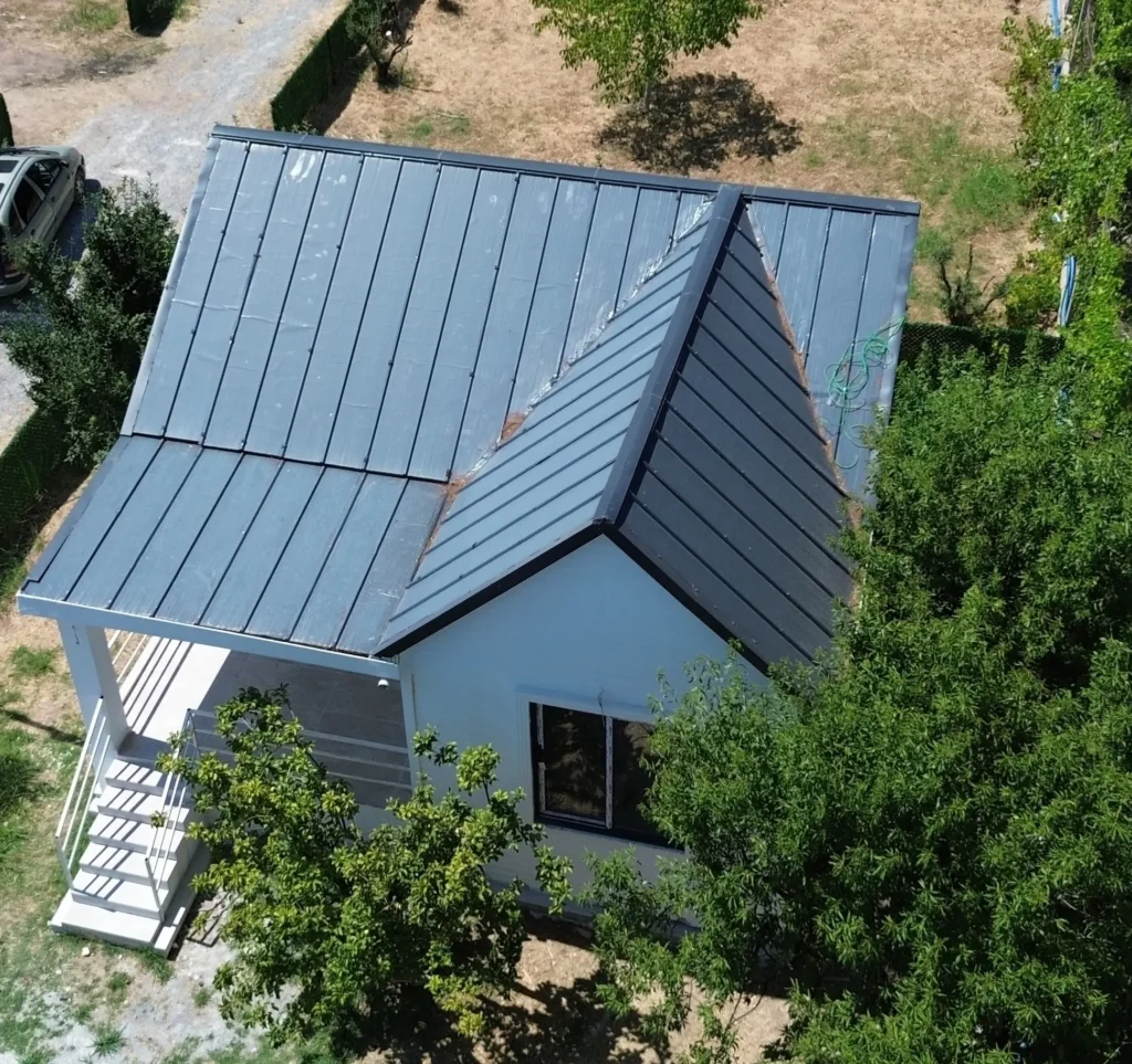
We recently took on a project that shows exactly what I mean. A homeowner wanted maximum solar capacity on a multi-pitched roof. The catch was a massive tree growing right up against the house. Its branches were practically scraping the metal seams. We had absolutely zero tolerance for error. If our measurements were off by even an inch, the panels would hit the branches or hang dangerously off the edge.
The Trap of 2D Satellite Imagery
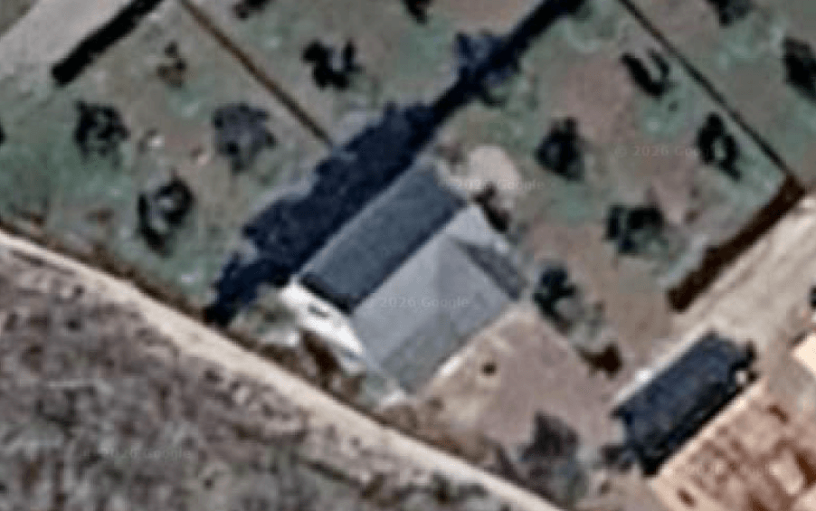
When a tough site like this comes across your desk, the first instinct is to pull up a satellite view. But let’s be honest about the reality we face. Google Maps roof measurement accuracy drops to near zero as soon as heavy foliage, shadows, or weird roof angles get in the way.
When we looked at this specific property on a standard 2D map, all we saw was a blurry mess of pixels. The tree canopy completely hid the eaves and the main triangular section we needed to work with. Relying on that 2D image means guessing where the edges actually are. And in this business, guessing leads to rejected permits, wasted truck rolls, and angry crews stuck on a roof with rails that do not fit. We needed hard facts, not estimates.
Securing the Data: Precision from the Air
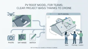
To take the guesswork out of the equation, we completely bypassed satellite tools and used 3D roof modeling. If you want to design a system on a tight roof, you first have to capture the reality of the site.
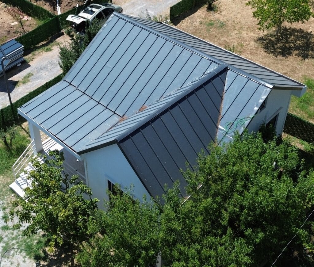
We ran a highly detailed drone roof survey to pull in high-resolution spatial data. Flat images just cannot compete with this. The drone data gave us the exact geometry of the building, the actual height of the tree, and the precise distance between the leaves and the metal surface. Finally, we could see the exact workable space that the satellite view kept hiding from us.
Executing the Layout: No Margin for Error
After capturing the site data, we brought it straight into Render-a. This is where the real work happens.
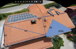
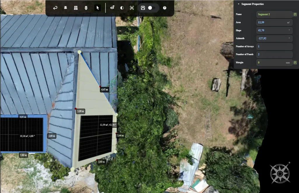
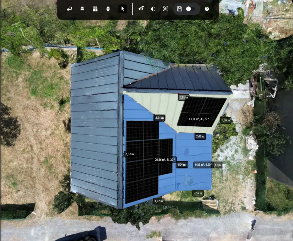
We focused on the hardest part of the roof first. It was a steep, triangular segment sitting right next to the tree line. Thanks to our 3D solar modeling tools, nobody had to guess the roof pitch from a blurry street-view photo. The software calculated the pitch at exactly 43.70 degrees. From there, we mapped out a highly specific 13.11 m² usable area on that single facet.
Since our digital twin of the roof was accurate down to the centimeter, we could see the exact clearance we had to work with. We confidently built a layout that pushed the kilowatt output to the max while keeping the hardware completely clear of those branches. Having this level of granular control is the only real way to guarantee zero-error solar panel placement on tough residential jobs. When the install crew showed up at the house, the panels fit exactly the way they looked on the screen. There was no cutting rails on the fly, no field modifications, and absolutely no panicked calls back to the design team.
Scaling Precision Across Every Project
Dealing with a tree-covered roof is just one example of how millimeter precision saves a project. As EPCs take on more complex jobs, relying on accurate spatial data needs to become the standard.
This exact same approach works for other tough scenarios. It applies whether you need precise facade measurement for commercial buildings or extensive 3D land surveying for massive ground-mount arrays.
At the end of the day, having verified, high-fidelity data serves one main purpose. It helps you close the deal and build the project flawlessly. When you integrate these precise models directly into your solar proposal preparation, you show the homeowner exactly what they are getting. You are backing your pitch with engineering reality instead of flat, blurry estimates.
You simply cannot scale a profitable solar business on the phrase “close enough.” By basing your designs on exact 3D realities, those impossible roofs just become another successful day on the job.