

Manual roof measurement has always been a massive pain point for architects, roofers, and solar installers. Setting up scaffolding is expensive, working at great heights carries enormous safety risks, and despite hours of work with a tape measure and laser, the final dimensions often deviate by crucial centimeters in practice.
Many of our clients come to us at exactly this point and ask a justified question: “Is a drone roof measurement really so accurate that I can blindly rely on it for material ordering or system planning?”
Based on hundreds of successfully completed projects at Render-a, our answer is clear: A professionally executed aerial survey is not only just as accurate, but it also far exceeds traditional methods in terms of precision and completeness. But there is a catch: simply flying a standard commercial drone is not enough. In this case study, we take a detailed look behind the scenes.
The Reality on the Job Site: Why Manual Measurement is Obsolete
Imagine a heavily articulated industrial building with multiple roof pitches, dormers, and hard-to-reach chimneys. Anyone measuring manually here inevitably has to estimate or interpolate. This is exactly where errors occur that become expensive later on the construction site: incorrectly cut sheet metal, ill-fitting PV substructures, or unexpected collisions with roof installations.
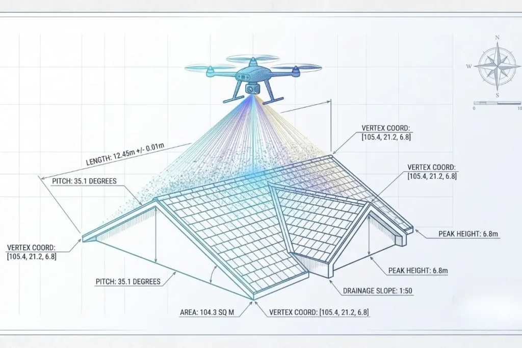
During our on-site operations, we completely eliminate this human error factor. By utilizing state-of-the-art RTK (Real-Time Kinematic) sensors and high-resolution cameras, we capture every angle of the roof contact-free and safely.
From Aerial Image to Exact 3D Roof Mapping
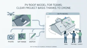
A common misconception is that drones merely take nice pictures from above. In our practice, however, the workflow looks completely different. We fly the drone over the object in a predefined grid, capturing hundreds of overlapping images from various angles.
Through highly advanced photogrammetric processes, we convert this raw data into a so-called “Digital Twin.” The result is a highly precise 3D roof mapping, where every pixel is equipped with exact geographical and spatial coordinates. If you want to see in detail how we create these centimeter-accurate point clouds and CAD models, you can find deeper insights into our methodology in our overview of professional drone roof surveys.
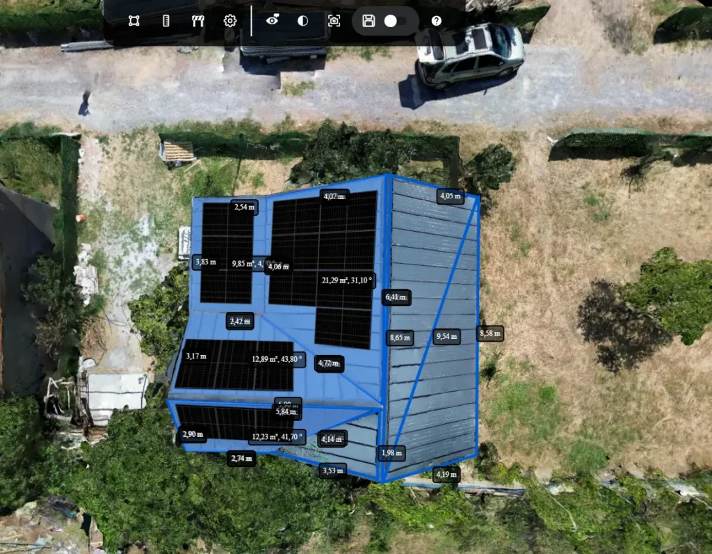
A Detailed Roof View That Simplifies Decisions
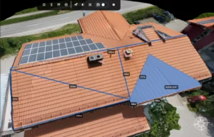
Another invaluable advantage of our work is the visual information density. We do not just provide our clients with bare numbers and vectors, but a razor-sharp, detailed roof view.
- Condition Assessment: Cracks in roof tiles, clogged gutters, or faulty insulation become visible without anyone ever having to set foot on the roof.
- Planning Security: You can see exactly where obstacles (such as ventilation shafts or antennas) are located.
This combination of visual clarity and absolute dimensional accuracy is a total gamechanger, especially when planning photovoltaic systems. Yield forecasts can only be accurate if the usable area and shading situation are known exactly. This is precisely why our data foundation is an essential building block for the solid preparation of solar proposals, giving both installers and end customers absolute certainty.
The Holistic View: When the Roof Alone Isn’t Enough
In practice, we often find that looking at a roof in isolation is not enough for complex construction projects. Roof construction, facades, and the surrounding terrain frequently influence each other.
To provide our clients with a truly gapless data foundation for their BIM (Building Information Modeling) models, we scale our operations according to their needs. The seamless integration of roof data with high-precision facade measurements allows us to map the entire building envelope as a consistent 3D model.
And if the topography of the property also plays a role in logistics planning, drainage, or regulatory approvals, we integrate this data directly into our 3D land surveying and mapping. In this way, a single, efficient on-site deployment creates a comprehensive dataset for all trades.
Conclusion: Trust Through Provable Precision
The question is no longer whether you can accurately measure a roof with a drone, but who you partner with to execute the project. Drone roof measurement is no longer an experimental topic of the future; it has long been the lived standard here at Render-a.
By eliminating scaffolding costs, drastically reducing measurement times, and above all, avoiding expensive planning errors, this approach often pays for itself on the very first day for our clients. Experience shows that anyone who has ever worked with a flawless, high-precision 3D model never goes back to the tape measure.